
Salmon Creek Neighbor Sources
A block lookup needs a clear definition of “neighbor.” It may mean a parcel sharing a boundary, a lot facing the same street segment, or a household within a neighborhood association. Those groups differ. MapsOnline provides the geometry, PIC provides parcel facts, Landmark provides recorded interests, and the county association directory provides public civic contacts.
| Source | What It Shows About a Block | Access |
|---|---|---|
| Clark County MapsOnline | Taxlots, roads, block context and adjacent parcels | Free public viewer |
| Property Information Center | Owner, mailing address, site address, tax account and parcel links | Address search online; owner-name search in office |
| Landmark recorded documents | Deeds, plats, easements, CC&Rs and other parcel instruments | Free index; copy options vary |
| Official voter data | Permitted fields for registered voters in a defined area | SOS extract with statutory limits |
| Neighborhood associations | Boundaries, public officers, meetings, plans and newsletters | County directory and association pages |
An owner name proves a recorded ownership or tax-roll entry at the time shown. It does not prove current occupancy. The owner may use another mailing address, and an occupant may not hold title. A voter entry covers an eligible registered voter, not every person at the address. Association material documents public civic work, not a complete household roster.
Identify Adjacent Salmon Creek Parcels
Open Clark County MapsOnline and use Find Parcel for the known address. Select its taxlot with Identify. Then inspect every lot that shares a line or corner and the parcels directly across the road. A taxlot is the mapped property unit used for assessment. A visible fence, driveway, or hedge may not follow the taxlot line.
The viewer also offers roads, address points, duplicate addresses, hundred-block groups, directional quadrants, subdivisions, annexations, and ZIP layers. These layers help resolve NE and NW street variants and Vancouver postal labels. They are research aids, not surveys. For a legal boundary question, use the recorded plat, deed legal description, or a qualified survey source.
The MapsOnline parcel screen shows the map used to walk outward from one Salmon Creek address.
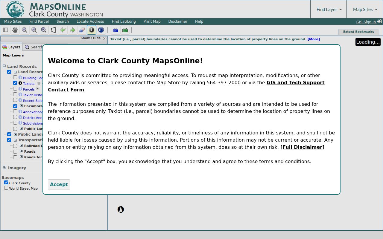
Each selected taxlot should be checked separately in PIC rather than read from its apparent yard or building footprint.
Map a Salmon Creek Block
Move from map geometry to ownership one parcel at a time. Keep a small ledger with the tax account, site address, owner mailing address, legal description, and source date. This prevents a visually adjacent home from being attached to the wrong taxlot. It also exposes vacant, common, road, or association-owned tracts that may sit between homes.
- Standardize the known address, including NE or NW, then locate it in MapsOnline.
- Identify the center taxlot and every parcel that touches or faces it. Record each tax account.
- Open each account in PIC. Compare site and owner mailing addresses without assuming the owner lives there.
- Follow the recorded-document link only when a deed, easement, plat, or covenant answers the question.
The process flow is address → taxlot → adjacent taxlots → PIC parcel facts → recorded instrument when needed. For every parcel along a named road, switch to the Salmon Creek street directory workflow rather than expanding a block search without limits.
Salmon Creek Civic Boundaries
The Clark County Neighborhood Association Directory offers an address-search map and association inventory. North Salmon Creek, Four Creeks, Meadow Glade, Pleasant Highlands, Maple Tree, Felida Community, and NE Hazel Dell describe parts of the broader local landscape. These are civic boundaries. They are not interchangeable with taxlots, ZIP codes, the Salmon Creek CDP, or Vancouver city limits.
The county's directory screen helps establish which public association covers an address.
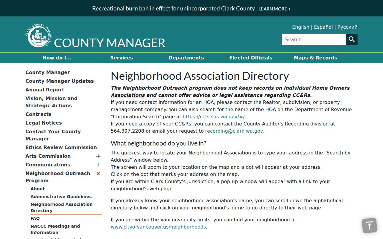
The result points to public contacts and community material, not a list of every household.
North Salmon Creek
Established in February 1988. The county page includes boundaries, public contacts, newsletters, and a 2008 action-plan history.
County Association Directory
Search by address to identify a civic association and review its public status, officers, and meeting information.
Recorded Subdivision Records
Use the Auditor's Landmark index for plats, CC&Rs, and covenants. The neighborhood association is not their custodian.
Salmon Creek Associations and HOAs
A county-recognized neighborhood association is not a homeowners association. The first supports public communication and civic projects. An HOA is a private organization that may enforce recorded covenants for a subdivision. Public newsletters can place an event, park concern, or liaison role in time, but they must not be mined as a resident roster.
North Salmon Creek's county page notes Chinook Neighborhood Park, County Council District 2, a sheriff liaison, and Fire District 6 Station 63. Those are useful service and civic facts. They do not prove where an officer, subscriber, or attendee lives. To confirm whether restrictions run with land, search Landmark for the parcel's plat, covenant, or CC&R record.
Landmark's public index starts in 1961. Search the subdivision name, recording number, grantor or grantee, document type, and date range when those facts are known. An account is needed to buy documents online, and images are not certified. Pre-1961 help comes from the Auditor's Recording Department. Ask for a certified or noncertified copy only after the index identifies the right instrument.
Washington Voter Data by Block
VoteWA is a personal registration lookup, not a block directory. Public voter data comes through the Secretary of State VRDB extract process under Washington election law. Permitted data can include a registered voter's name, address, year of birth, voting history, districts, and precincts. Full dates of birth, driver-license data, Social Security digits, phone numbers, email, future-voter data, and protected records are withheld.
A scoped extract still does not identify all Salmon Creek neighbors. Children, noncitizens, unregistered adults, recent movers, and protected people may not appear. Washington does not register voters by party, and election history cannot show a vote choice. Define the block with reproducible parcel or street-segment rules, retain the file's as-of date, and never infer private traits from public election fields.
The Address Confidentiality Program can replace an actual residential address with a substitute address for eligible survivors and protected professionals. A public mismatch may be an intended safeguard. Do not compare parcel, voter, marriage, or business fields in an effort to reveal the protected location. Keep the official block study focused on public parcel facts and aggregate civic context.
Official Salmon Creek Neighbor Evidence
Official sources are narrower than commercial neighbor tools, but their custody, date, and field meanings are clearer. A commercial profile may merge people with similar names or retain an old address. Use such a category only as an unproved lead. Do not publish it as fact.
| Source type | Strength | Main limit |
|---|---|---|
| County GIS and PIC | Parcel geometry and recorded owner facts | Ownership is not occupancy |
| Official voter extract | Dated, defined public registration fields | Not all residents; protected fields removed |
| Association page | Public boundaries, contacts and civic history | Not a household directory |
| Commercial profile category | May suggest a spelling or prior place | Provenance, freshness and identity joins may be unclear |
For historical neighbors, a period directory or census may be more useful than a current profile. Fort Vancouver Regional Libraries provides genealogy databases, newspapers, FIMO maps, HeritageQuest, and in-library resources. Exact local reverse-directory years were not verified in the research. Ask a repository for a title and year before claiming that a Salmon Creek street was covered, and pair every household entry with a dated parcel, census, deed, or newspaper source.
Privacy for Salmon Creek Neighbors
Washington's Address Confidentiality Program gives eligible survivors and certain protected professionals a substitute address. Protected voter and marriage options can also shield actual locations. A missing address is not a gap to defeat. Utility accounts, delivery data, school records, medical information, and other private household facts do not become public because a parcel owner is known.
Collect the smallest amount needed. Keep source facts separate from guesses about occupancy. When a county record appears wrong, record its tax account or document number and ask the custodian about correction. If an administrative record is not published, a narrow Public Records Act request can name the record, date range, parcel, and preferred format. Court and vital records follow their own access rules.
Do not enter private land to test a map result. The W.H. Robinson House, for example, is a county-listed historic landscape anchor connected to an early Salmon Creek farm and later subdivision, but the county says it is not open to the public. Heritage status never grants permission to visit. Study the official listing, parcel layers, plats, and recorded documents from lawful access points.
Set a clear, firm end point before beginning. One ring of adjoining and facing parcels is a defensible local block study. Expanding outward without a stated rule collects more personal data while making the word “neighbor” less precise. Mark vacant and common parcels as such, leave unresolved owner-versus-occupant questions unresolved, and remove birth dates or contact details that are not needed for the stated civic, family-history, or property question.
Lawful use. Research Salmon Creek neighbors only for a lawful purpose. Never use public records to watch, stalk, harass, threaten, or expose another person.